Saltmarsh
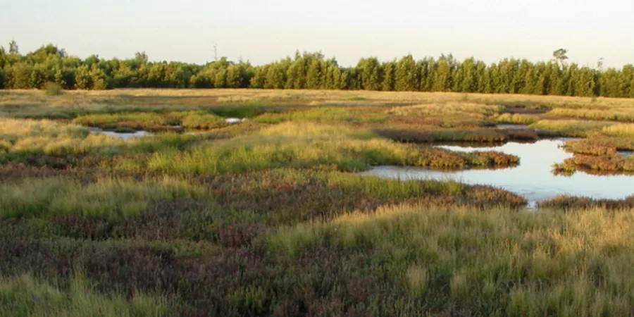
An Endangered Ecological Community, and a hard worker: it feeds fish and crab production and gives the shorebirds a roost.
A great place to see restoration of fisheries, shorebird, frog and rainforest habitat. Walk, cycle, picnic, fish, birdwatch, discover the past.
Kooragang Wetlands is on Ash Island, reached by the Ash Island Bridge, about 100 m east of McDonald's on the Pacific Highway at Hexham, 12 km west of Newcastle.
Coming from Sydney: take the M1 north to the end of the freeway, turn right towards Newcastle, and it's about 7.5 km along the Pacific Highway to the bridge.
The wetlands are now part of Hunter Wetlands National Park, managed by NSW National Parks & Wildlife Service; standard park regulations apply.
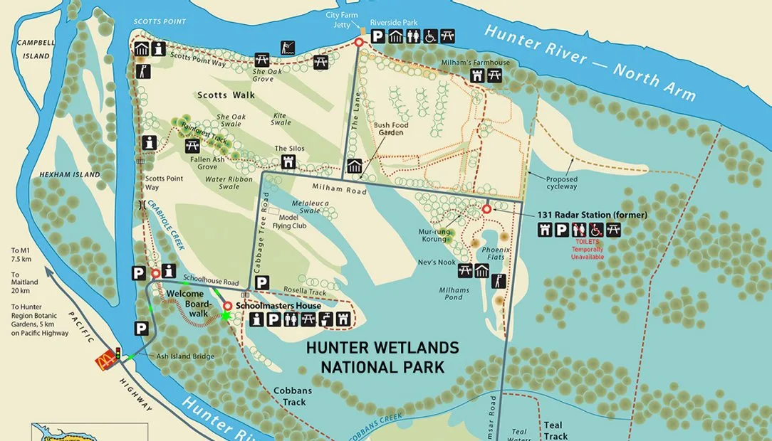
This is our trail map of the island. Tap a pin (or a name below) to see what's there and where its story leads.
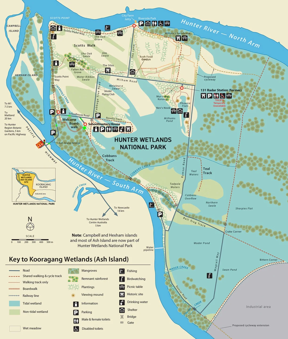
The map marks the Schoolmasters House, the Welcome Boardwalk, Milham's Farmhouse, the former 131 Radar Station, Mur-rung Korung, the Silos, the Bush Food Garden, City Farm Jetty and the walking routes: Scotts Walk, Cobbans Track, Bell Frog Track, Teal Track and Wagtail Way.
There's about 15 km of boardwalks, cycleways and walking tracks altogether, including roughly 5 km of dedicated cycleway, most of it alongside the Hunter River, with 1.2 km running through Kooragang City Farm.
A fair warning from us: the island roads can be rough. Hybrid and mountain bikes do better than thin-tyred road bikes. Bicycles must not be ridden on the boardwalks or the meandering walking trails.
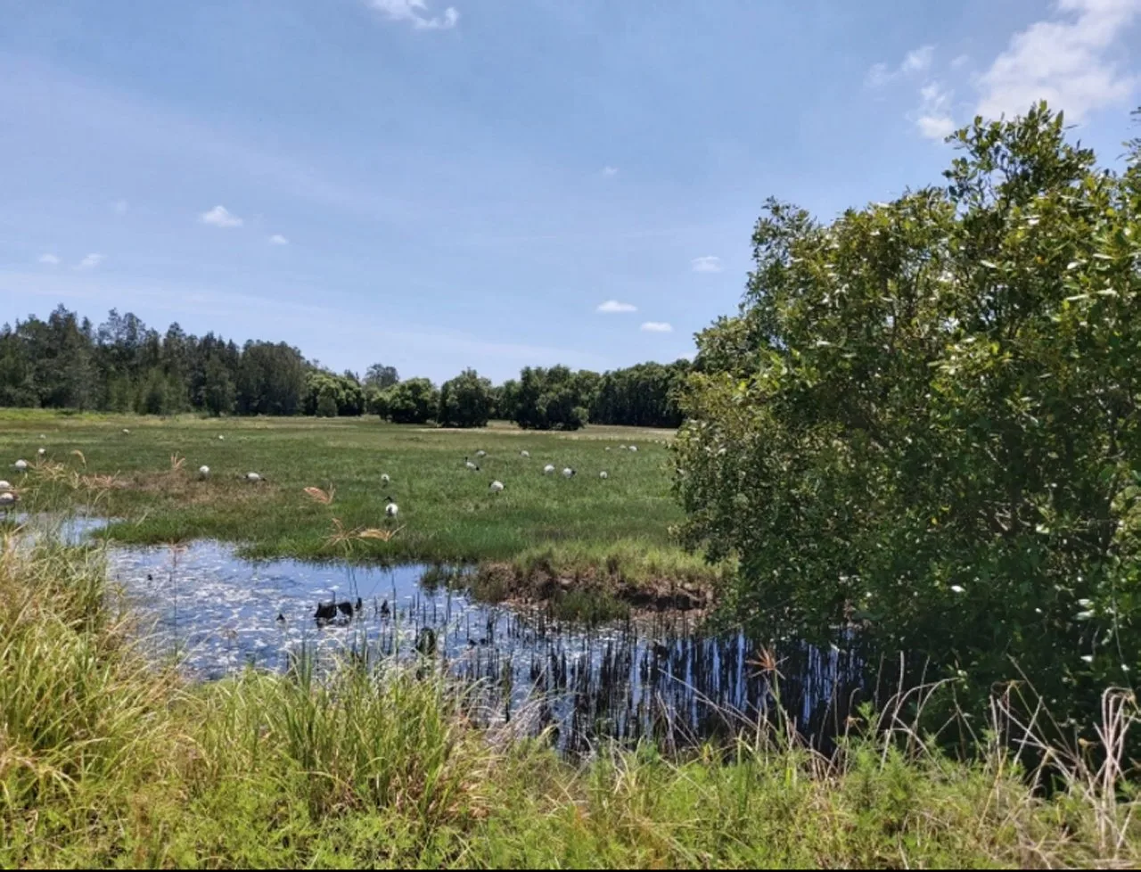
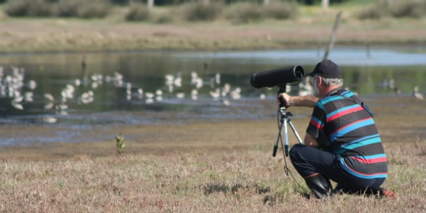
About 45 of them are shorebirds, and 34 of those are migratory: they spend August to mid-April here, then fly back to Siberia, northern Asia and Alaska in April to breed. If you're here over summer, you're sharing the mudflats with birds that will winter on the other side of the world.
The Hunter Bird Observers Club has produced a birding route guide for Ash Island; credit and thanks to HBOC:
An Endangered Ecological Community, and a hard worker: it feeds fish and crab production and gives the shorebirds a roost.
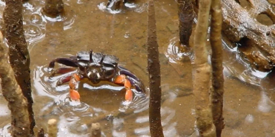
About 10 crab species live in the flats. The showiest are the purple-clawed semaphore crab, like this one among the mangrove roots, and the red-fingered marsh crab.
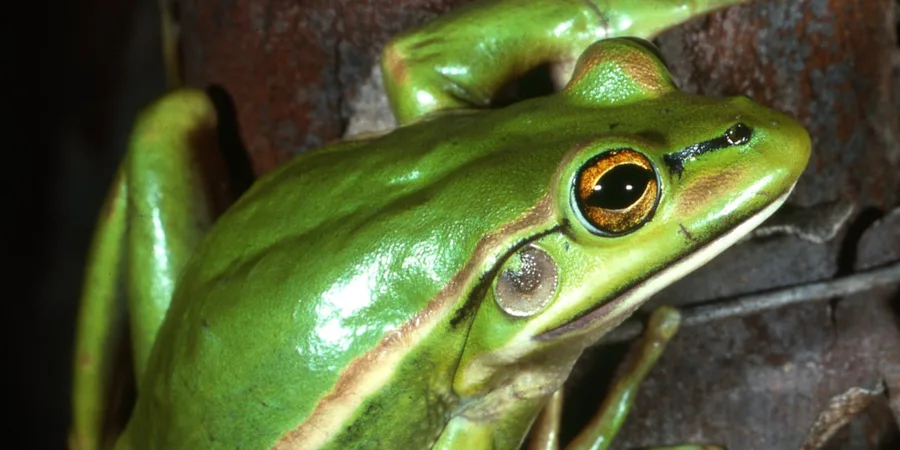
Fifteen frog species have been recorded on the island, including the endangered green and golden bell frog. KWRP built ponds as stepping-stone habitat between wetland cells. Green and Golden Bell Frog: Australian Museum photo
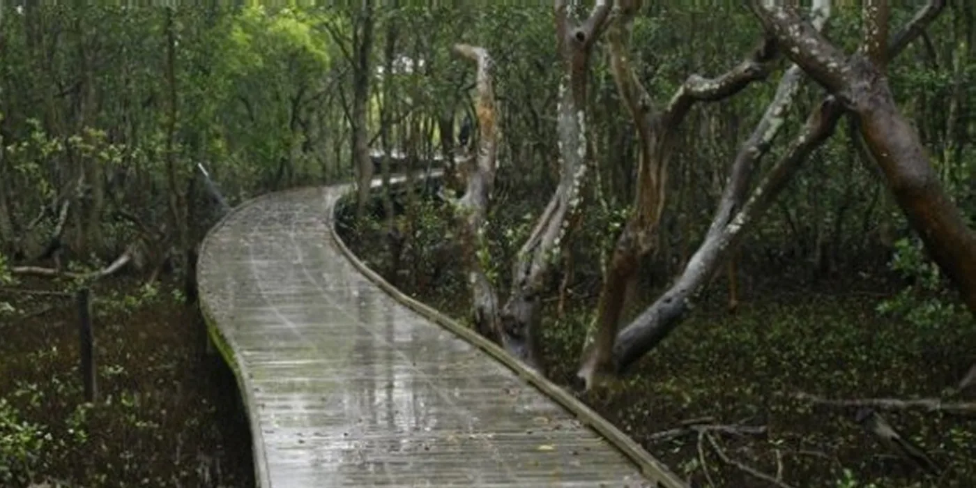
Only two species grow at this latitude, the grey mangrove and the river mangrove, and both line the island's creeks.
Juvenile fish ride the incoming tide into the saltmarsh: sea mullet, luderick, school prawns, flathead, tailor, bream and gobies among them.
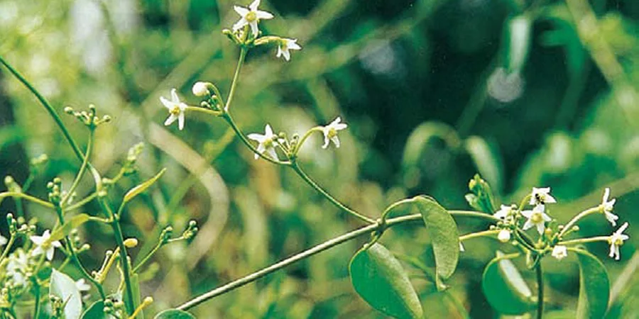
Pockets of remnant rainforest are being connected into a corridor across the island. Look for the ash tree the island is named after, red cedar, and the endangered white cynanchum vine.
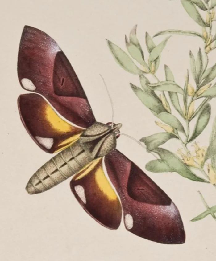
Ash Island offers food plants for 87 butterfly species. Volunteers revegetated beside the Rainforest Track with larval food plants, and produced a booklet, Butterflies of Ash Island. The Scott sisters were painting the island's butterflies here 170 years ago; their plates are the proof.
The main restoration areas are Ash Island (780 ha), Tomago Wetlands (800 ha) and Stockton Sandspit (10 ha). The wetlands hold a sister-wetland affiliation with Kushiro Wetlands in Hokkaido, Japan, and the migratory bird habitat is protected under treaties with Japan, China and South Korea.
“Natural resource managers can learn about sustainable care of the environment from Aboriginal culture. Hunter Local Land Services, in partnership with both the Awabakal Local Aboriginal Land Council and Worimi Local Aboriginal Land Council, have developed the Aboriginal Cultural Heritage Management Plan for the Kooragang Wetland Rehabilitation Project (KWRP), which further integrates both traditional and contemporary Aboriginal culture with the project's objectives.” From our published pages · more of the island's First Peoples history, in its authors' own words, is in the timeline
We're a small volunteer team at the Schoolmasters House. Send your question through and we'll reply as soon as we can.